The use of Augmented Reality in Police operations
In today’s technological society, law enforcement needs every tool in a more complex and sophisticated arsenal to operate successfully. Whether it’s the prevention of crime, protecting and serving the community or searching for a missing child, every advantage must be taken into account and used.
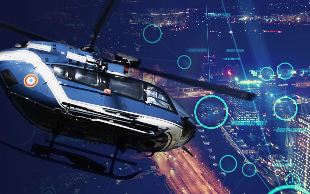
Augmented Reality is such a tool that can be deployed remotely and, in particular, for air units and helicopter crews. Its uses are broad-ranging and advantageous in almost any application.
What is Augmented Reality?
Digital innovation has created a whole new virtual world that can be superimposed in real-time to create a multi-layered concept. Augmented Reality or AR overlays simulated images to render relevant information on top of real-time video. The result is a vast amount of information instantly available to operators engaged in evaluating and prioritising an ongoing situation. The data they gather on the spot can then be relayed to colleagues on the ground in real-time.
AR is becoming mission-critical for law enforcement. For the ‘Eye in the Sky’, it presents a whole new level of detail that can be rendered onto a single source of information, accessed by a touch-screen system. Identifying key points, creating search patterns, and even the geospatial position of the helicopter itself can all be added to a real-time rendition.
Not only does this provide the operators with a far more advanced source of information, but it can also aid in the crew’s safety by indicating power lines and other flight hazards. This data can include to-the-millimetre measurements, allowing the pilot to navigate a complex environment more safely without compromising the integrity of the mission.
Are maps assigned to the past?
Previously, air crews relied on maps to give them points of reference. With AR, the need for an old-school map is eliminated. The data is overlaid on the video capture in real-time and adjusted by the microsecond to update the information produced. This includes coordinates and even 3D rendering to create a more complex and detailed level of data.
While there’ll always be a place for maps, not only are they two-dimensional, but they are usually out of date or don’t contain the relevant data the operator needs. By overlaying AR onto streaming video, the operator creates their very own customised rendition of the terrain below that is accurate and entirely up to date.
Applications of AR for law enforcement
Real-time AR has a multitude of applications for law enforcement, including:
- Surveillance – AR allows an operator to quickly cover a much larger area, identifying targeted areas of interest. For example, in a public disorder event, AR would enable an operator to section an area and pinpoint the critical potential flashpoints for unrest, directing ground units to intercept and contain it more quickly.
- Search and rescue – Because AR allows operators to create customised search patterns in both urban and rural terrain, a more efficient process can be deployed by identifying potential points of interest and instantly relaying their geo coordinates to ground crews for a faster response. The ability to render the helicopter’s exact position and orientation also helps minimise any geospatial offsets, giving the operator more accurate information.
- Traffic control – AR can overlay grid systems and allow the operator to identify ‘pinch points’ in traffic flow.
- Critical Events monitoring – As AR systems can be deployed simply by inserting a USB pen into a laptop, even a fast-developing critical event such as a civil emergency, disaster or flash mob can be monitored immediately.
OPENSIGHT – the future of AR
As law enforcement technology pushes forward, systems such as FlySight’s OpenSight Augmented Reality are at the cutting edge of developments. Adaptable, multi-layered and operator-friendly, it allows users to build an improved awareness of any situation.
Customisable systems that are refined towards the specific needs of different law enforcement agencies (such as Border Control) mean that AR is a highly reactive process that operates in real-time. The overlaying of multiple layers helps the operator to understand the terrain and the scenario below them from a geospatial point of view, without the need for constant reference to a more old-fashioned map.
Innovation leads to a better quality of service, a smarter working process, and better results. AR represents a potentially vital tool for law enforcement, allowing them to deliver a far more comprehensive service to the public. There is no doubt that AR is a crucial part of the future of law enforcement.


