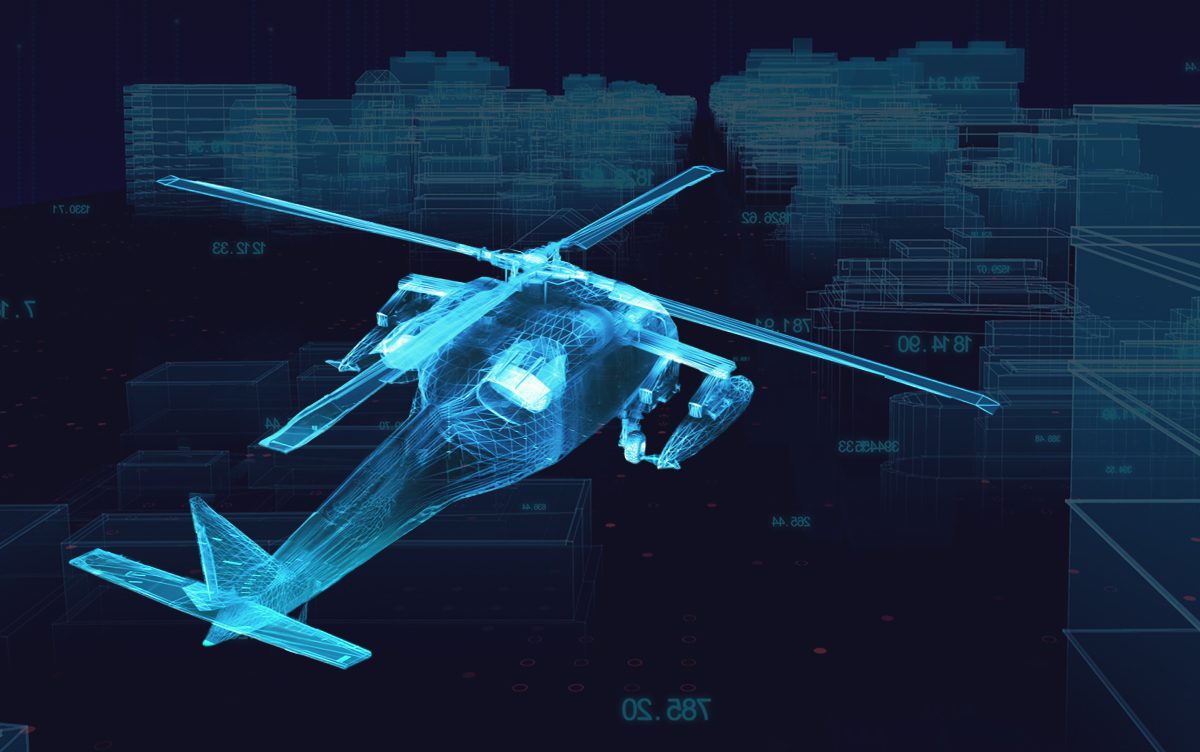
In both civilian and military operations, the helicopter has proven to be one of the most versatile, effective and adaptable platforms. Digitisation in aviation has accelerated over the past few years, offering the ability to mission plan with greater accuracy. As the increasing demand for sustainable, user-friendly and efficient helicopter technology increases, developers such as FlySight are pushing the boundaries of innovation.
In this article, we’ll explore the subject of digitisation in aviation, with a specific focus on helicopter avionics, and mission and planning systems. We’ll look at the benefits of digitisation and how aviation teams are using digital technology in everyday processes. We’ll examine the role of digitisation in everything from aircraft maintenance to pilot and operator training and explore how digital third-party systems can be connected to expand the usability of aerial platforms.
Keep reading to discover how FlySight’s OPENSIGHT technology empowers the helicopter mission management into a far more advanced and mission-effective platform.
Digitisation in aviation – How are digital technologies evolving aircraft systems and processes?
According to the Aerospace Industries Association, digital transformation is influencing the development of every aspect of the aircraft industry, including helicopters. Both civilian, civil and military configurations are being advanced through the inclusion of digital technologies.
The main reason they are so crucial to the future of avionics is that not only does digitisation allow for more technology to be incorporated into confined spaces such as helicopter cockpits, but they can be easily grandfathered into existing formats. Using already familiar technology also has one other significant advantage – it’s easier to train operators so that the systems can be brought online effectively and more quickly.
Digitisation is being applied to every element of avionics, from the initial design of critical systems, including the rotor configurations, internal layout and dashboard designs, to maintenance, operational support and airport operations. With the option to include AI and Enhanced Reality systems, digital technology has a role in airline and airport operations, maintenance, training and mission operations. But what interests many users is the opportunity to empower geospatial mission performance in real-time, for planning and debriefing.
The capture of additional information that is both pertinent and easily dissimilated from the background ‘noise’ is one of digitisation’s biggest offerings. By empowering onboard functionalities and technological capabilities, digitisation has improved operational effectiveness, mission efficiency and, most importantly, safety. This highlights the multifaceted benefits of advancing technology in aviation systems.
The benefits of digitisation in helicopters
For rotary aircraft, the benefits of digitisation are multifaceted. The fact that geospatial awareness is improved to a much greater degree ensures that every second in the air is utilised to the fullest. Digitisation of operational systems such as fuel delivery ensures that the vehicle is working at maximum efficiency, saving fuel and extending the time the vehicle spends airborne.
The ability to download operational data during servicing also streamlines ground-based activities such as repairs, allowing ground crews to identify and correct any inefficiencies before they start to impact the effectiveness of the vehicle. Predictive maintenance algorithms ensure that vehicle downtime is kept to a minimum and maintenance schedules are optimised. It also makes sure that all safety protocols are followed and makes fault-finding easier, faster, and more accurate.
The cost of operating a helicopter platform is incredibly high. So, any technology that increases efficiency and offers fuel savings is to be welcomed. The fact that so much technology can be inserted into an existing cockpit without negatively impacting vehicle weight and fuel consumption is mission-critical to the platform’s effectiveness.
Digital technology offers instant responses, improving the aircraft’s performance and making it more manoeuvrable. The fact that this technology is digitised and allows the pilot to concentrate on flying rather than maintaining a constant visual assessment of the aircraft’s performance also significantly increases the safety of the entire aircraft and crew. Pilot fatigue is reduced – a key consideration for any operational unit.
Helicopters are not known for being particularly ‘green’ vehicles. But thanks to digital technology and the improvement in engine and operational efficiency, the impact on the environment can be lessened to a certain degree. While digital technology may not make helicopters truly eco-friendly, it does go some way to reducing the harm caused.
Technology examples – how digital is directing the use of aerial platforms
Digital technology can be used in myriad everyday processes. We’ve already discussed the advantages of maintenance technology, such as predictive algorithms, but the uses go far beyond that.
Training pilots is time-consuming and expensive. This applies to retraining too, when new tech is added to the roster of a helicopter cockpit. The advantage of digital technology is that much of the software involved utilises existing hardware that pilots and operators are already familiar with. This familiarity with the primary operating system makes it much easier to integrate technology into the process. Let’s take a quick look at some of the different types of technology that apply particularly to helicopter platforms.
- Real-time Geospatial Awareness Software – This easy-to-use technology gives aircraft operators a far greater awareness of their surroundings. For example, in urban areas, this can include the aircraft’s exact location in relation to overhead power cables that could present an extreme hazard for a helicopter.
- Real-Time data processing – modern technology allows data assimilation and analysis from heterogeneous sensors in real-time. This includes electro-optical, infrared, hyperspectral, radar, LIDAR and SONAR sensors.
- Enhanced Reality displays and multi-layer overlays – The Enhanced Reality System (ERS) is one of the most critical steps forward for both civilian and military operations. Enhanced reality allows multiple layers of information to be added to topographical maps, providing essential information for target location or SAR, even when a natural disaster, terrorist attack or geological event has altered the surroundings.
Multiple applications in one turnkey solution
The development of digital technology for the next generation of rotorcraft can be combined into a mission console solution. Concepts such as FlySight’s OPENSIGHT are a prime example of this. By creating a multi-platform PED (Processing, Exploitation and Dissemination) system, helicopter operators have a bank of technology at their fingertips to enhance the mission parameters.
Integrating a geo-exploitation toolbox into existing hardware provides a new methodology for mission data analysis in real-time both in the air and back at base, as well as providing geospatial information and enhanced reality visualisation.
When operated alongside an Analyst Console, which delivers mission-planning and the exploitation of augmented reality capabilities to enhance the skills and experience of the operators, a complete solution can be incorporated into a tiny space. With Cloud storage, large amounts of data can be transferred back to the operations base to be assessed and examined.
Revised operation guidelines can then be relayed to both ground units and aerial operators while they are still in the air, saving time, resources, and money.
Digitisation and interoperability
We have already discussed how digital technology can provide a real-time connection between the aircraft and the operating base. However, third-party systems are now becoming more commonplace, allowing multiple units to work together. With the increased use of drones, uncrewed vehicle-to-vehicle communication is increasingly plausible as an additional technique during operations.
The data gathered by the drones can be instantly relayed to the main aerial unit as well as the operations base. For example, in a SAR situation, drones could cover a much larger search area and feed data to the main aerial unit. This could drastically reduce the search time, adjusting a search pattern to pinpoint the target location far more quickly.
A combination of multiple technologies also reduces development time and allows for rapid technology implementation. Software development and creating mission console plug-ins is quicker than creating new hardware. This approach enables organisations to launch their digital initiatives much more rapidly, accelerating the overall process of technological implementation and innovation.
The interoperability and connectivity of OPENSIGHT is a perfect example. It connects to existing systems and works with other software and hardware without the need to replace entire operating systems. And, as we mentioned earlier, because the operators are already familiar with the operating systems, training time is reduced thanks to the intuitive nature of the console and plug-ins.
Find out more from FlySight
The advancement of digital technology is constantly evolving. Contact FlySight to find out more about our digital technology and missions systems for rotary aircraft. Take a look at our video resources page to learn more about our turnkey solutions. Or contact us direct to talk in confidence to one of our technical team.


